Mountain Pass

Gotthard Pass

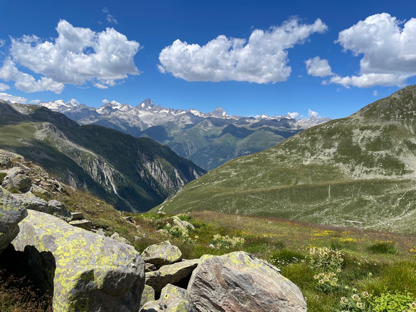
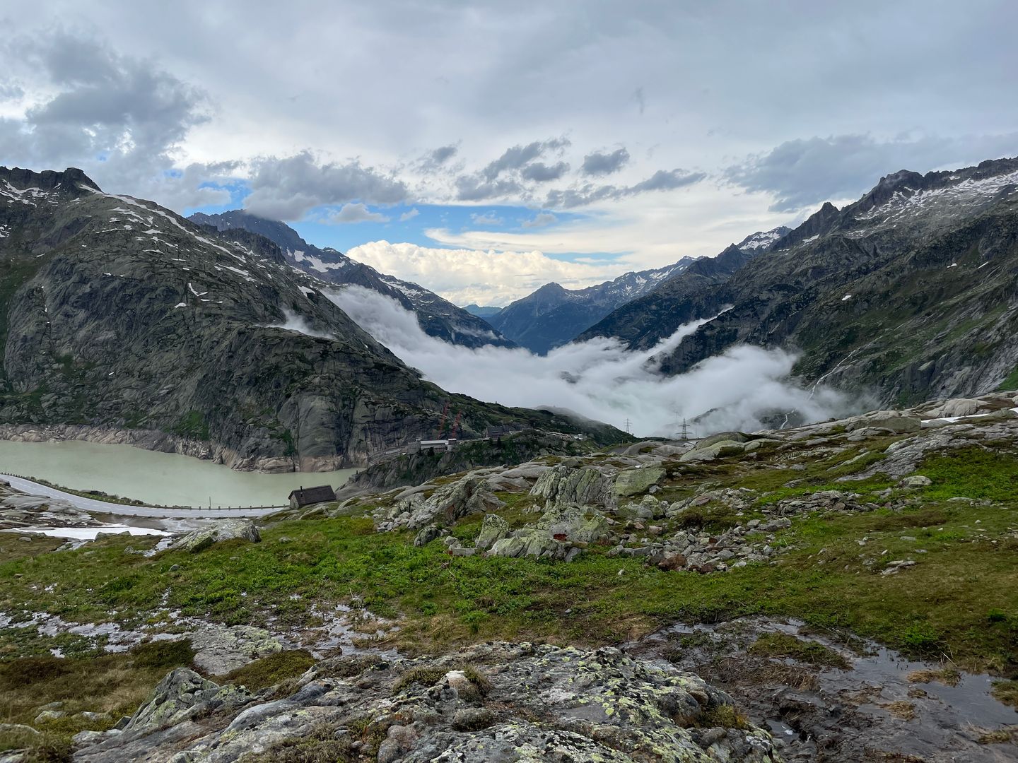
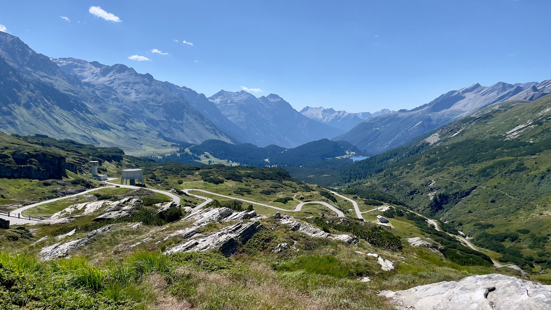
The Gotthard Pass or St. Gotthard Pass (Italian: Passo del San Gottardo; German: Gotthardpass) at 2,106 m (6,909 ft) is a mountain pass in the Alps traversing the Saint-Gotthard Massif and connecting northern Switzerland with southern Switzerland.

Country🇨🇭 Switzerland
Elevation⛰️ 2106m
Road quality🟢 Excellent
Crowd level🟡 Moderate
Expert rating
3.5— Its ok to drive but not very challenging

About this pass

The Gotthard Pass or St. Gotthard Pass (Italian: Passo del San Gottardo; German: Gotthardpass) at 2,106 m (6,909 ft) is a mountain pass in the Alps traversing the Saint-Gotthard Massif and connecting northern Switzerland with southern Switzerland. The pass lies between Airolo in the Italian-speaking canton of Ticino, and Andermatt in the German-speaking canton of Uri, and connects further Bellinzona and Lugano to Lucerne, Basel, and Zürich. The Gotthard Pass lies at the heart of the Gotthard, a major transport axis of Europe, and it is crossed by three traffic tunnels, each being the world's longest at the time of their construction: the Gotthard Rail Tunnel (1882), the Gotthard Road Tunnel (1980) and the Gotthard Base Tunnel (2016). With the Lötschberg to the west, the Gotthard is one of the two main north-south routes through the Swiss Alps.
My notes

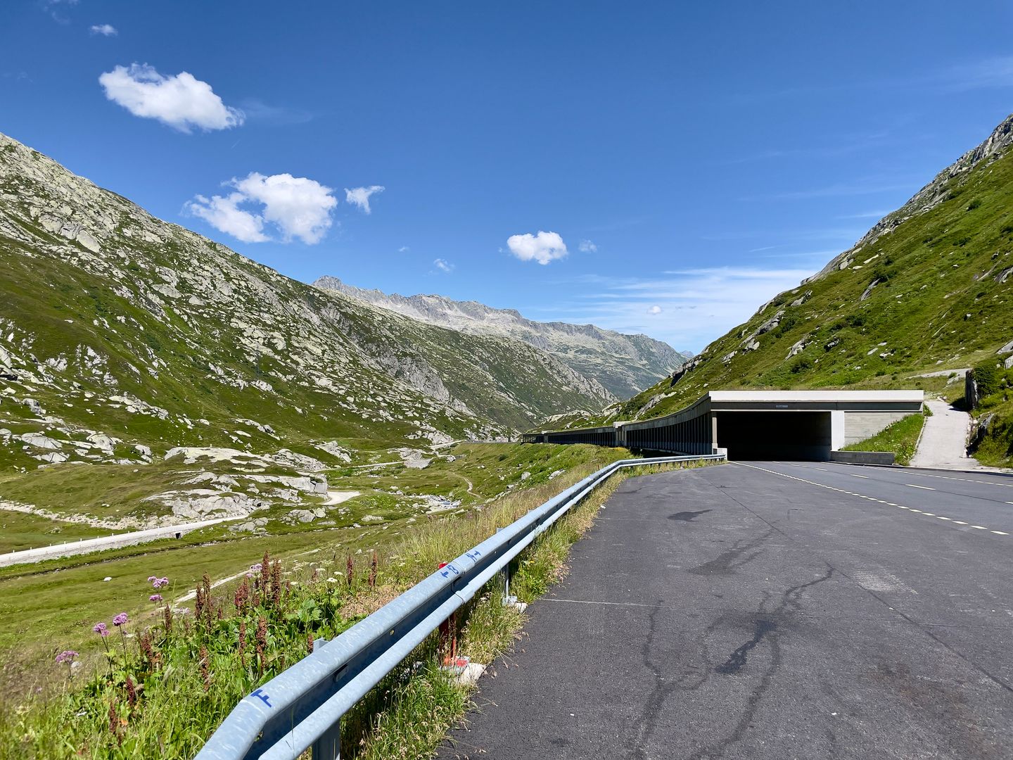
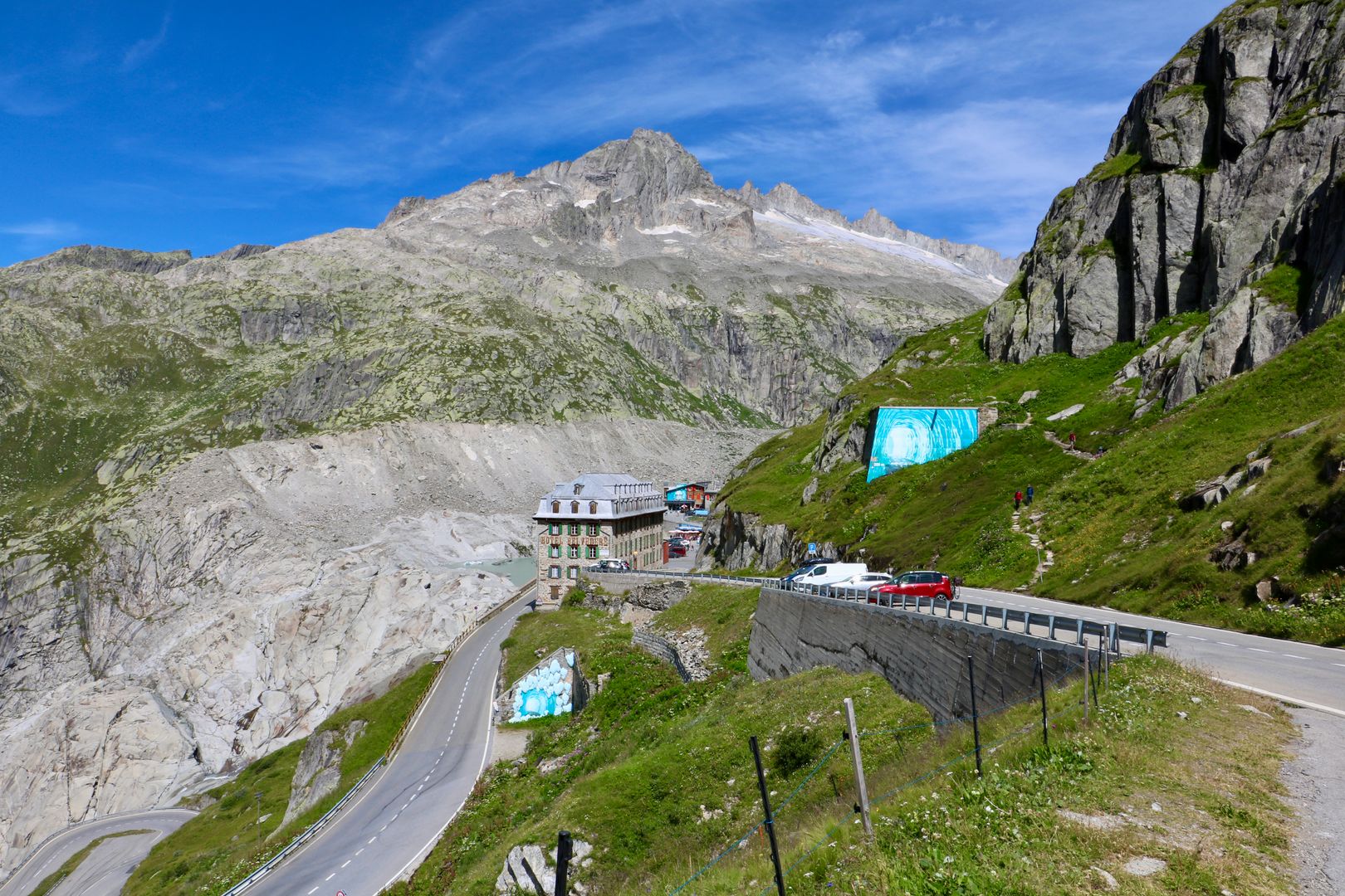
The new road is very smooth which reduces the fun factor. It's still a nice ride. Unfortunately i dont have much pictures to to heavy rain. There are 2 versions of this road. I am not sure if you can still drive the old version.

Stops along the way

1
📍

46.5274°N, 8.5986°EClick to zoom on map →
2
📍

46.5356°N, 8.5747°EClick to zoom on map →
3
📍

46.6175°N, 8.5664°EClick to zoom on map →
🔒 Login for GPX

User ratings

No ratings yet — be the first!