Route

Atlanterhavsvegen

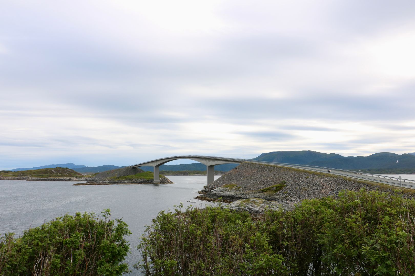
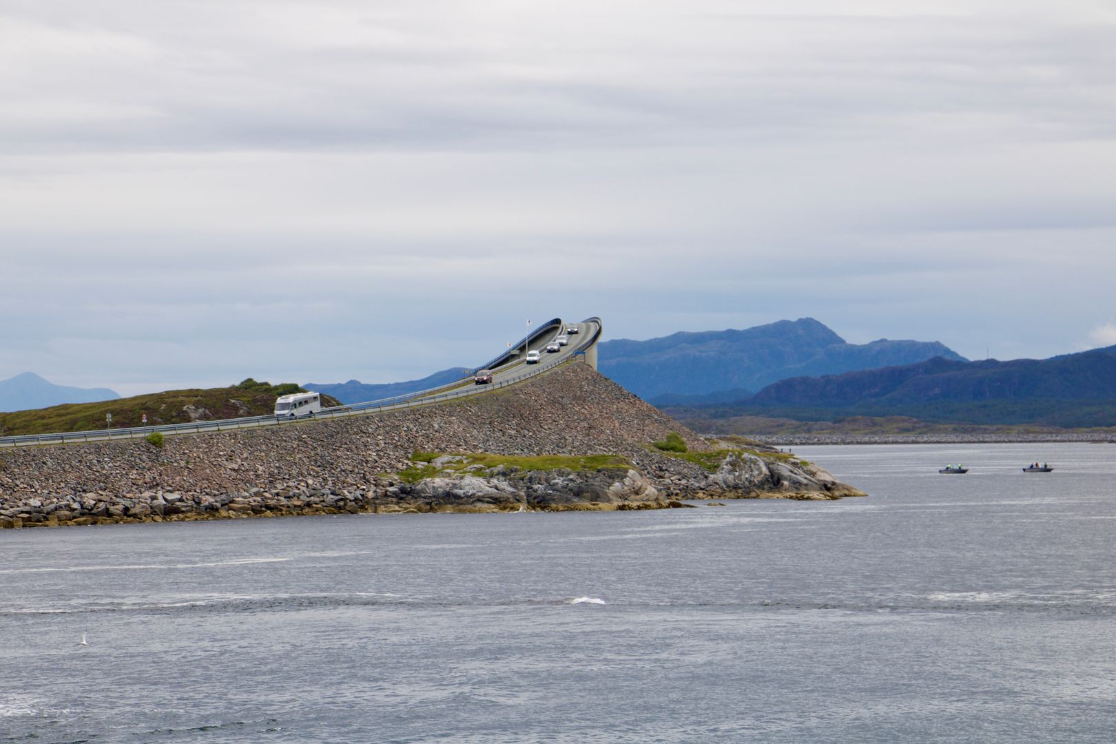
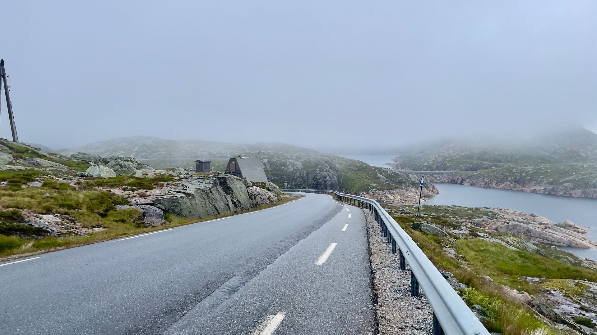
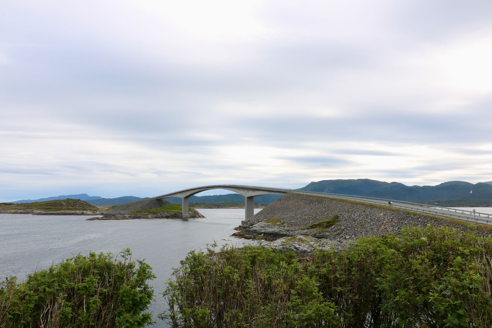
Norwegian Scenic Route Atlanterhavsvegen runs from Kårvåg to Bud, road [64] [6070] [663] [6064] [6060]. Few roads bring you closer to the ocean and let you feel part of it in the same way as Atlanterhavsvegen.

Country🇳🇴 Norway
Duration🕐 1
Distance📍 36 km
Road quality🟢 Excellent
Crowd level🟡 Moderate
Website🌐 Visit
Expert rating
4.5

About this route

Norwegian Scenic Route Atlanterhavsvegen runs from Kårvåg to Bud, road [64] [6070] [663] [6064] [6060]. Few roads bring you closer to the ocean and let you feel part of it in the same way as Atlanterhavsvegen.

If you plan to continue north, we recommend a boat trip to the weather-beaten and idyllic islands of Grip, 14 km northwest of Kristiansund. The boat departs from Kristiansund and takes about an hour.

For cyclists: On the Atlantic Road you are close to the ocean; beware of strong winds when you ride along the bridges. The route may have quite a lot of traffic during high season. Norwegian Scenic Route Atlanterhavsvegen is part of National Cycle Route 1, which runs along the entire coast of Norway. From Bergen to Nordkapp the route also coincides with EuroVelo 1 «Atlantic Coast Route». The route is signposted.
Stops along the way

1
📍

Start/ end

The start or end of the route

62.9068°N, 6.9141°EClick to zoom on map →
2
📍

Kjeksa

🅿️ Parking
62.9134°N, 6.9279°EClick to zoom on map →
3
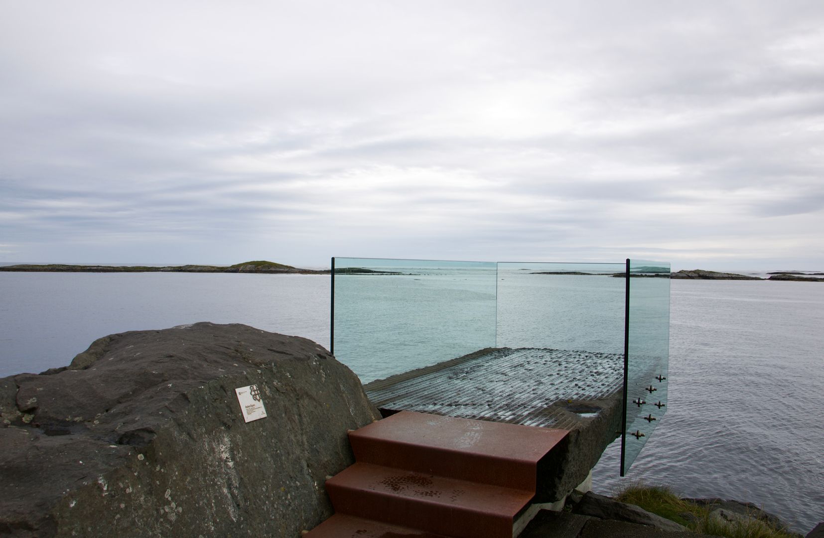
Askevågen

Askevågen

🅿️ Parking
62.9671°N, 7.0364°EClick to zoom on map →
4
📍

Farstadsanden

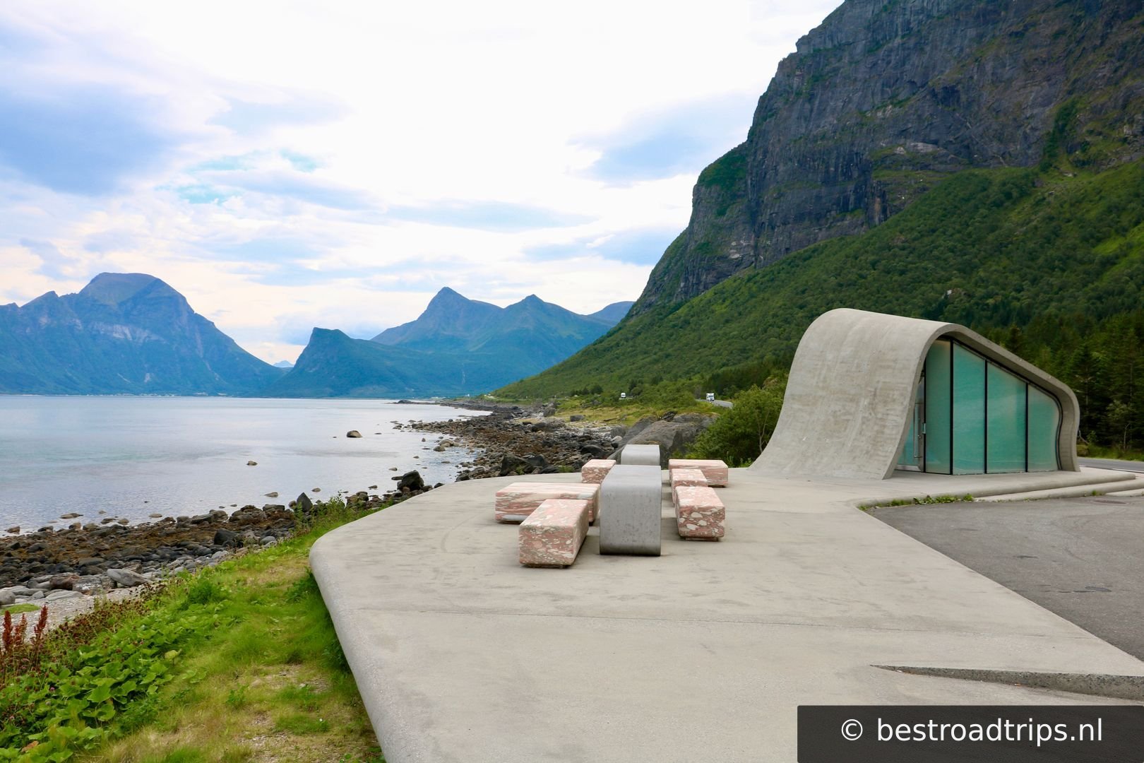
🚻 Restroom🅿️ Parking
62.9806°N, 7.1534°EClick to zoom on map →
5
📍

Hågå

🅿️ Parking
63.0077°N, 7.2968°EClick to zoom on map →
6
Myrbærholmbrua

Myrbærholmbrua

🅿️ Parking
63.0167°N, 7.3487°EClick to zoom on map →
7
📍

Eldhusøya

🅿️ Parking
63.0185°N, 7.3648°EClick to zoom on map →
8
📍

Geitøya

🅿️ Parking
63.0214°N, 7.3816°EClick to zoom on map →
9
📍

Start/ end

🚻 Restroom🅿️ Parking
63.0094°N, 7.4310°EClick to zoom on map →
🔒 Login for GPX

User ratings

No ratings yet — be the first!