Route

Road to Stetind

Not only is Stetind Norway's national mountain, it is also a popular mountain for mountaineering and hiking enthuisiasts.

Land🇳🇴 Noorwegen
Duur🕐 1
Afstand📍 48.8 km
Wegkwaliteit🟢 Uitstekend
Drukte🟢 Rustig
Expertbeoordeling
★★★★★
5— Norway's national mountain and epic road that is quiet! MUST DRIVE!
🌐Deze content is automatisch vertaald en kan onnauwkeurigheden bevatten.

About this route

Not only is Stetind Norway's national mountain, it is also a popular mountain for mountaineering and hiking enthuisiasts.

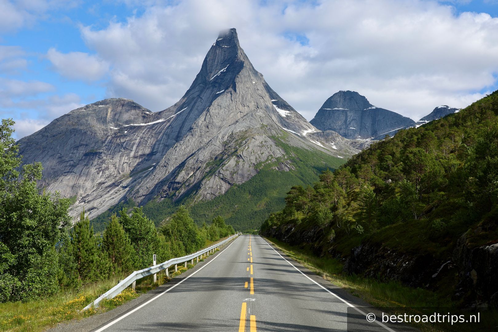
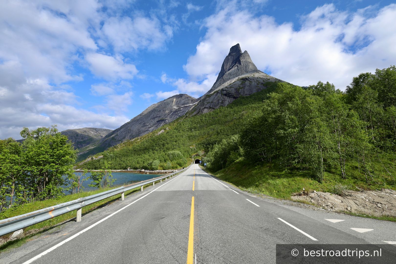
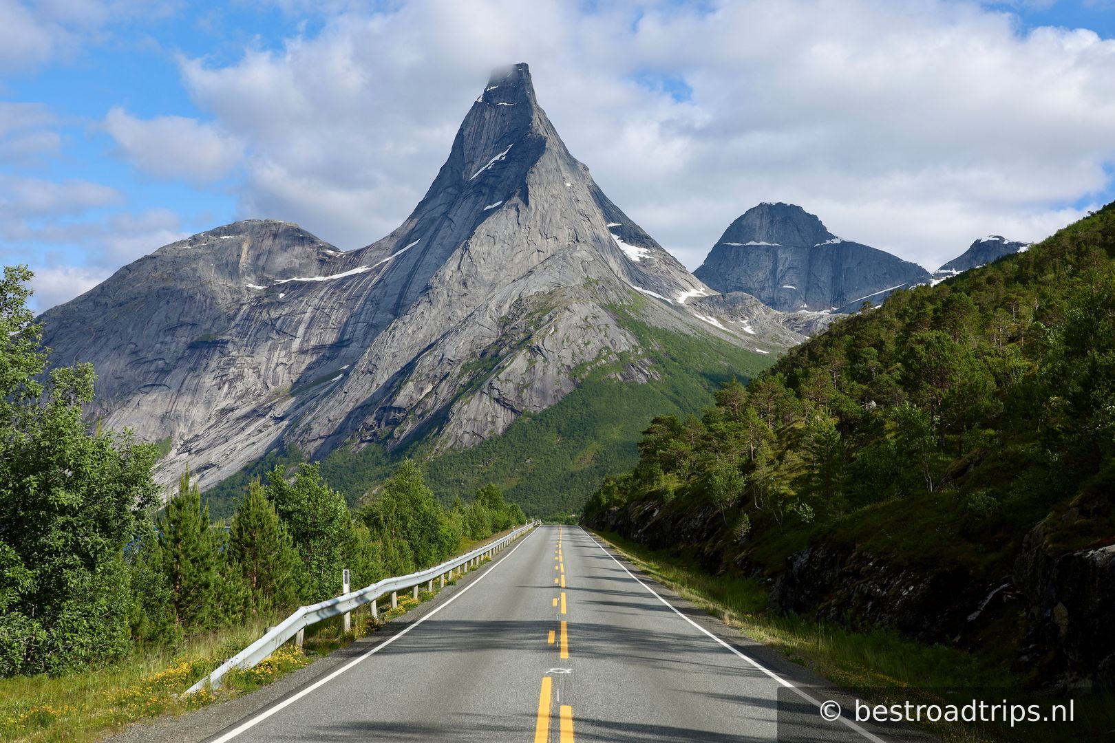
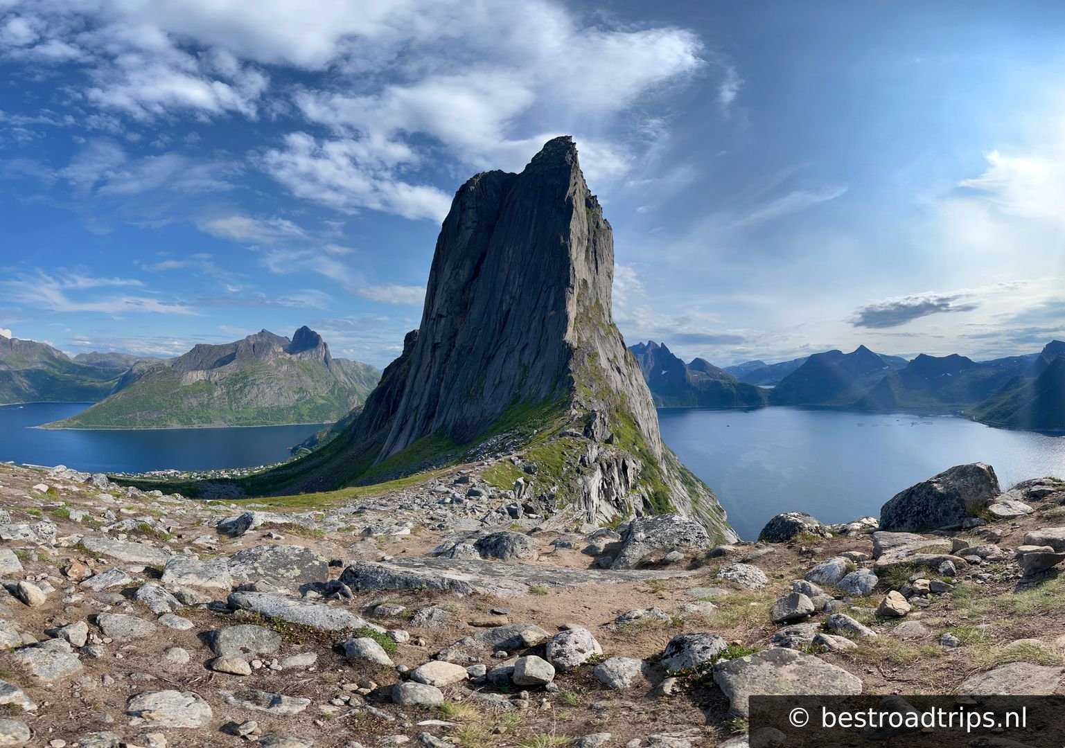
The mountain Stetind is a well known land mark for the sailors along the coast. The vertical, steep mountain with looks like an anvil, rises majestically from the sea.

Stetind was in 2002 selected as Norway's national mountain, and is also a favored place for peak climbers.

The known professor and philosopher Arne Næss established himself as King of Stetind when he in the late 1930's introduced bolt climbing in Norway. A number of impressive technical routes brought him to the top.

If you want to climb the mountain, guided tours are arranged, and Magnus from Narvik Mountain Guides (www.narvikguides.no) is a certified IFMGA Mountain Guide.

Stetind is located in the municipality of Narvik, about 90 km south of Narvik town.
Mijn notities

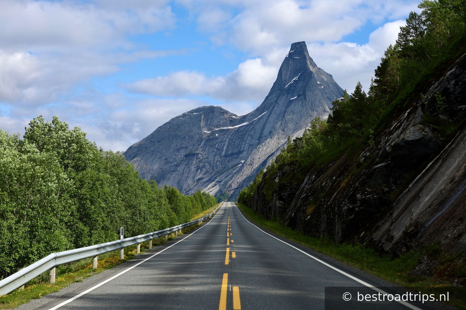
a MUST drive! It was a quiet road and i managed to take amazing pictures of the mountain while standing on the road. Be careful still but the road is amazing in the afternoon!

Stops langs de route

1
Start

Start

🚻 Toilet🅿️ Parkeren

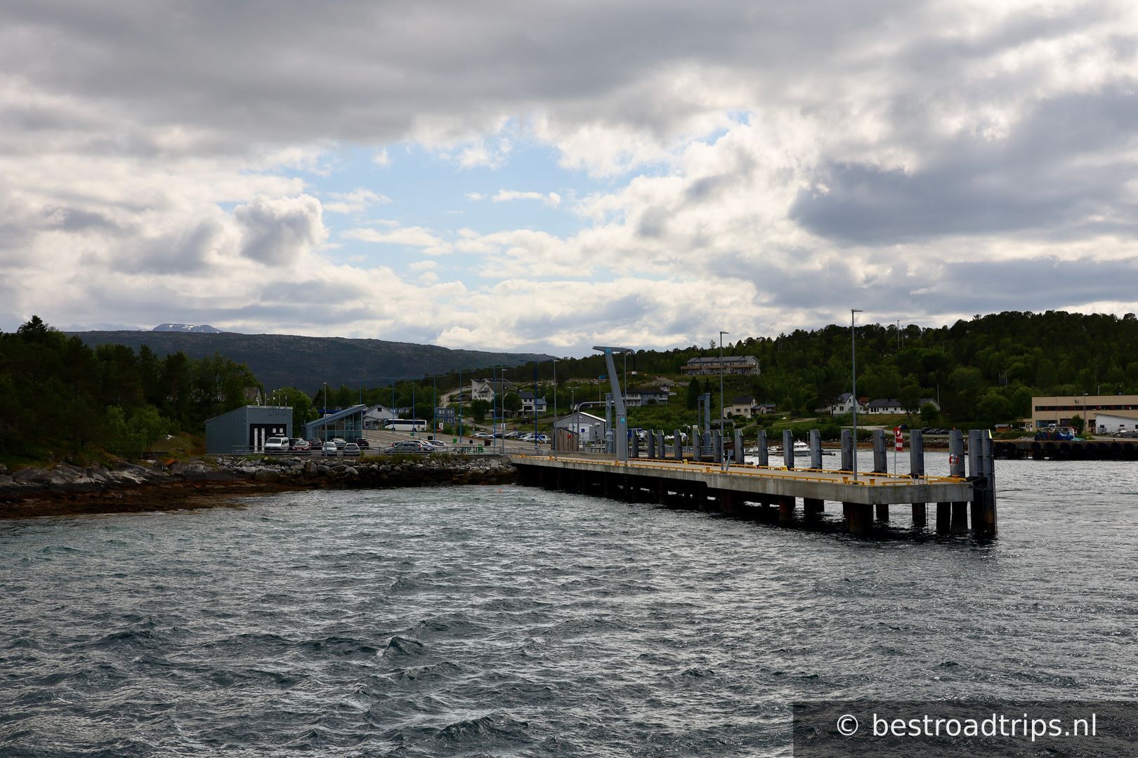
This is a route you need to drive in a specific way. Drive towards the ferry dock

68.0473°N, 16.0809°EKlik om in te zoomen op de kaart →
2
ferry

ferry

🚻 Toilet🅿️ Parkeren

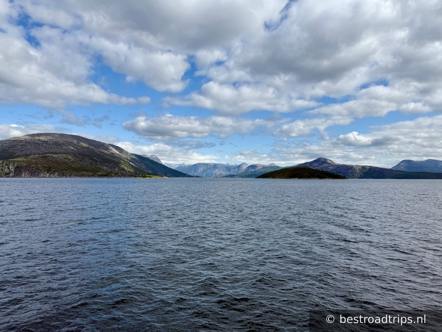
Take the ferry to Kjøpsvik

68.0939°N, 16.3586°EKlik om in te zoomen op de kaart →
3
Haukøyveien

Haukøyveien

🅿️ Parkeren

Just before the tunnel you can have a picknick and a nice view. It was full of mosquitos tough.

68.1890°N, 16.4785°EKlik om in te zoomen op de kaart →
4
Picture spot

Picture spot

🅿️ Parkeren

On the left there is a gap in the railing which you can use to park your car.

68.1929°N, 16.4940°EKlik om in te zoomen op de kaart →
5
Best photo spot

Best photo spot

This is the best spot but there is no parking spot other then just the side of the road. Its easier to drive towards the parking lot in front of the mountain, turn around and then park it on your right.

68.1847°N, 16.5245°EKlik om in te zoomen op de kaart →
6
Parking

Parking

🚻 Toilet🅿️ Parkeren

This is the official parking place if you want to hike up the mountain. A guide is adviced!

68.1769°N, 16.5497°EKlik om in te zoomen op de kaart →
7
📍

End

68.3387°N, 16.8033°EKlik om in te zoomen op de kaart →
🔒 Login voor GPX

Beoordelingen van gebruikers

Nog geen beoordelingen — wees de eerste!

Voeg je beoordeling toe

★★★★★
Find hotels near Road to Stetind
★★★★★ Millions of reviews · Free cancellation available
Search hotels →
Find things to do near Road to Stetind
Handpicked tours & activities
Explore activities →