Mountain Pass

Grossglockner High Alpine Road

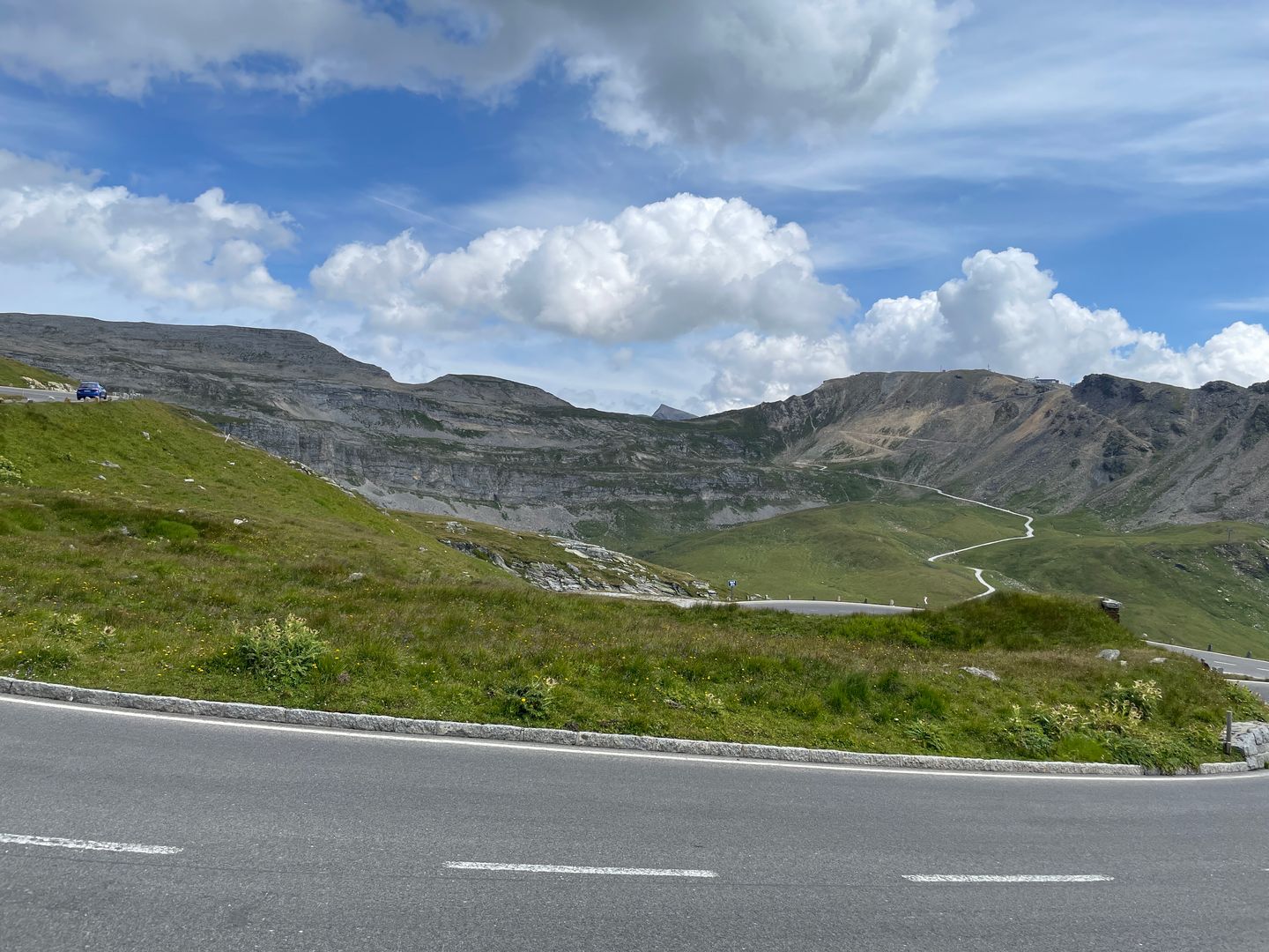
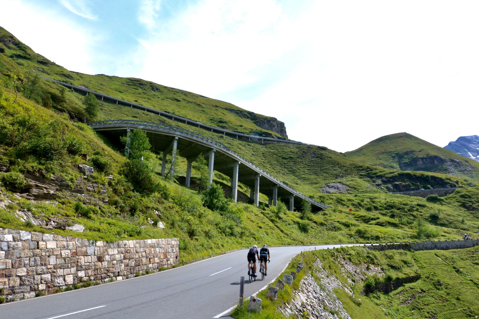
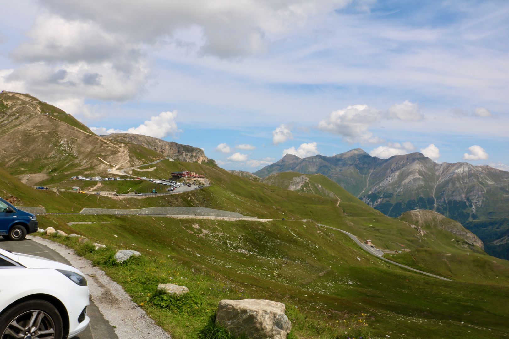
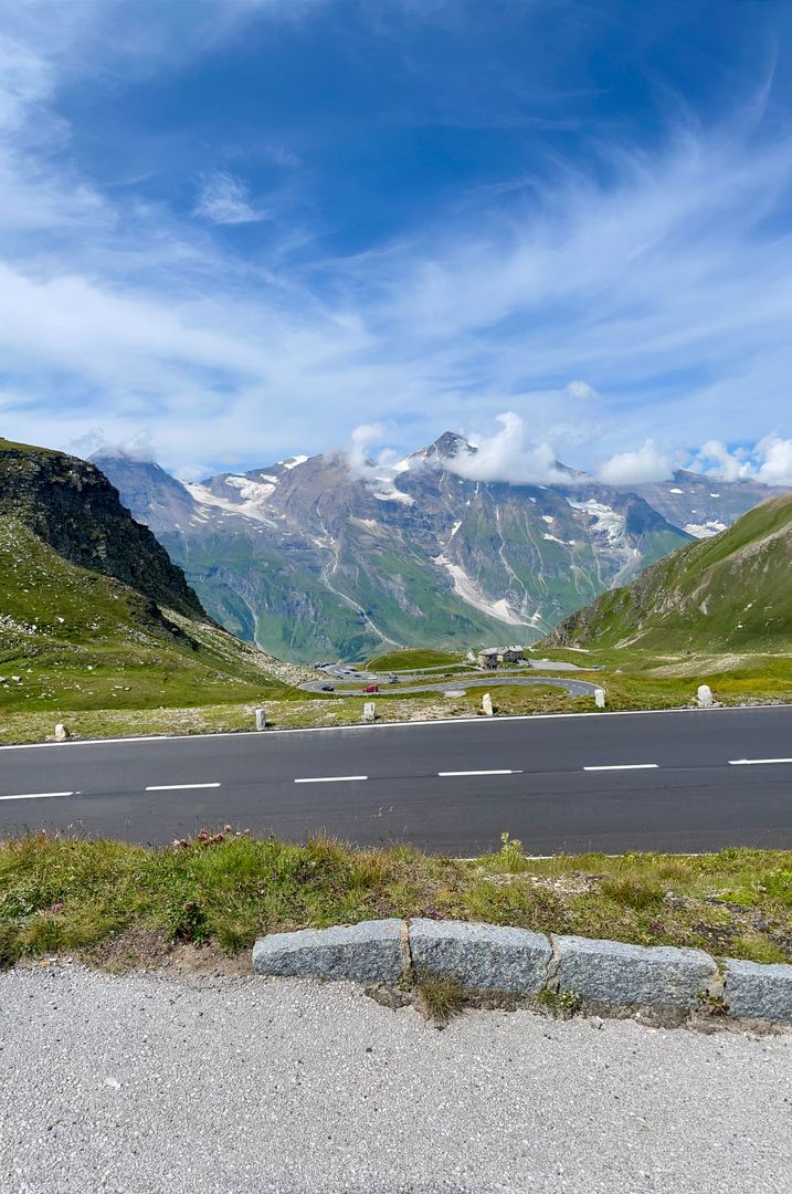
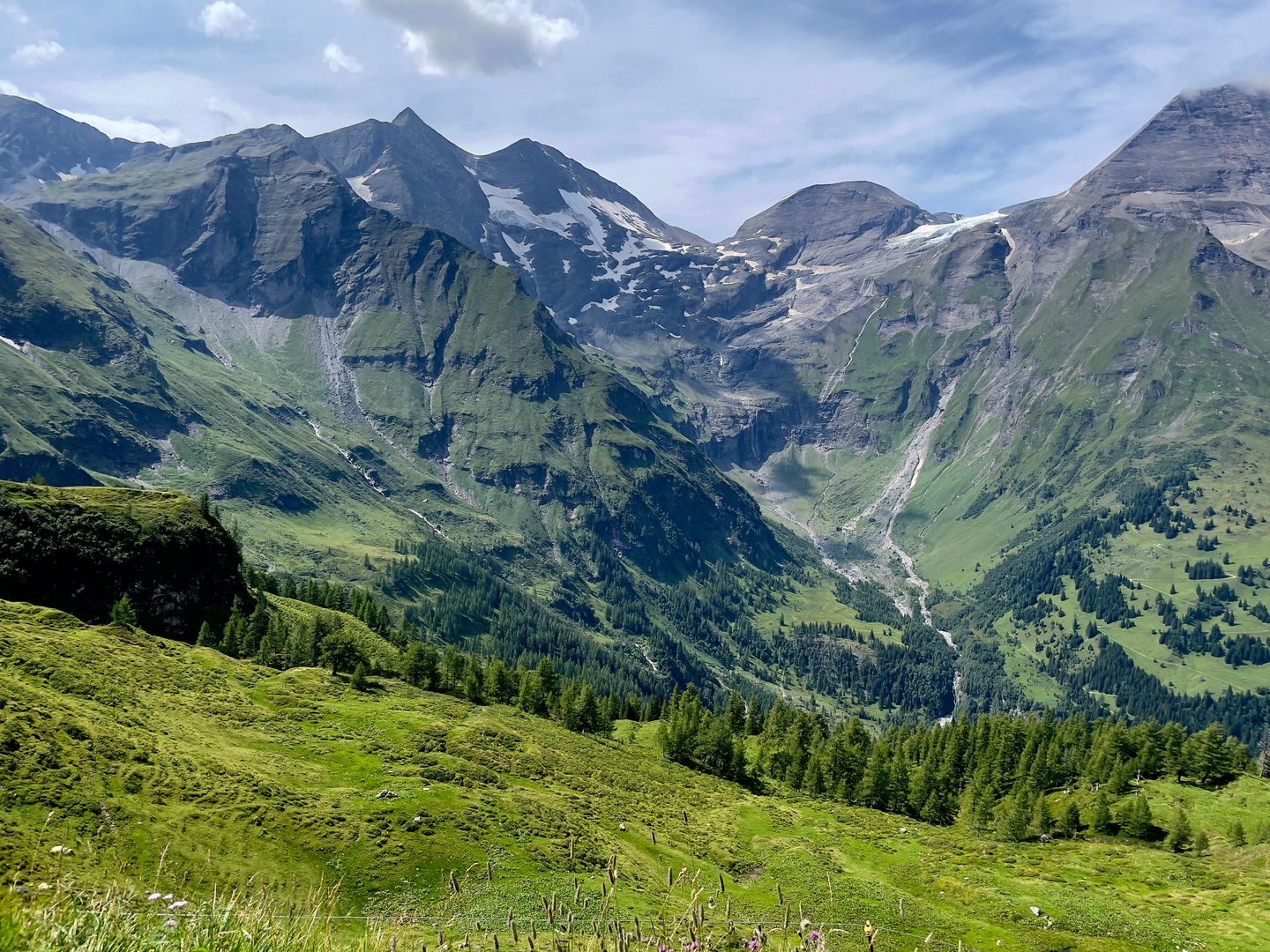
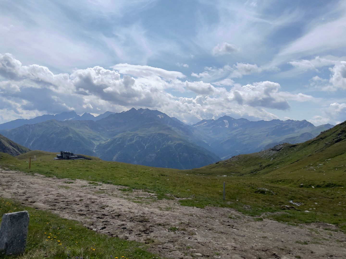
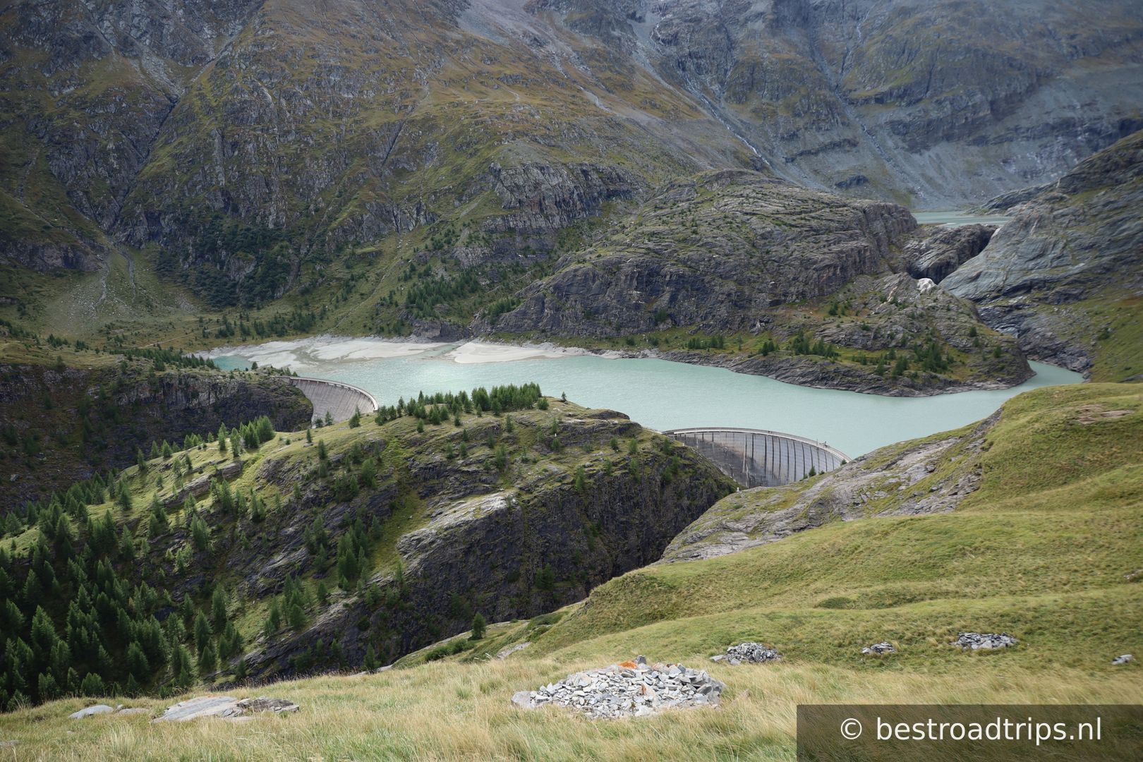
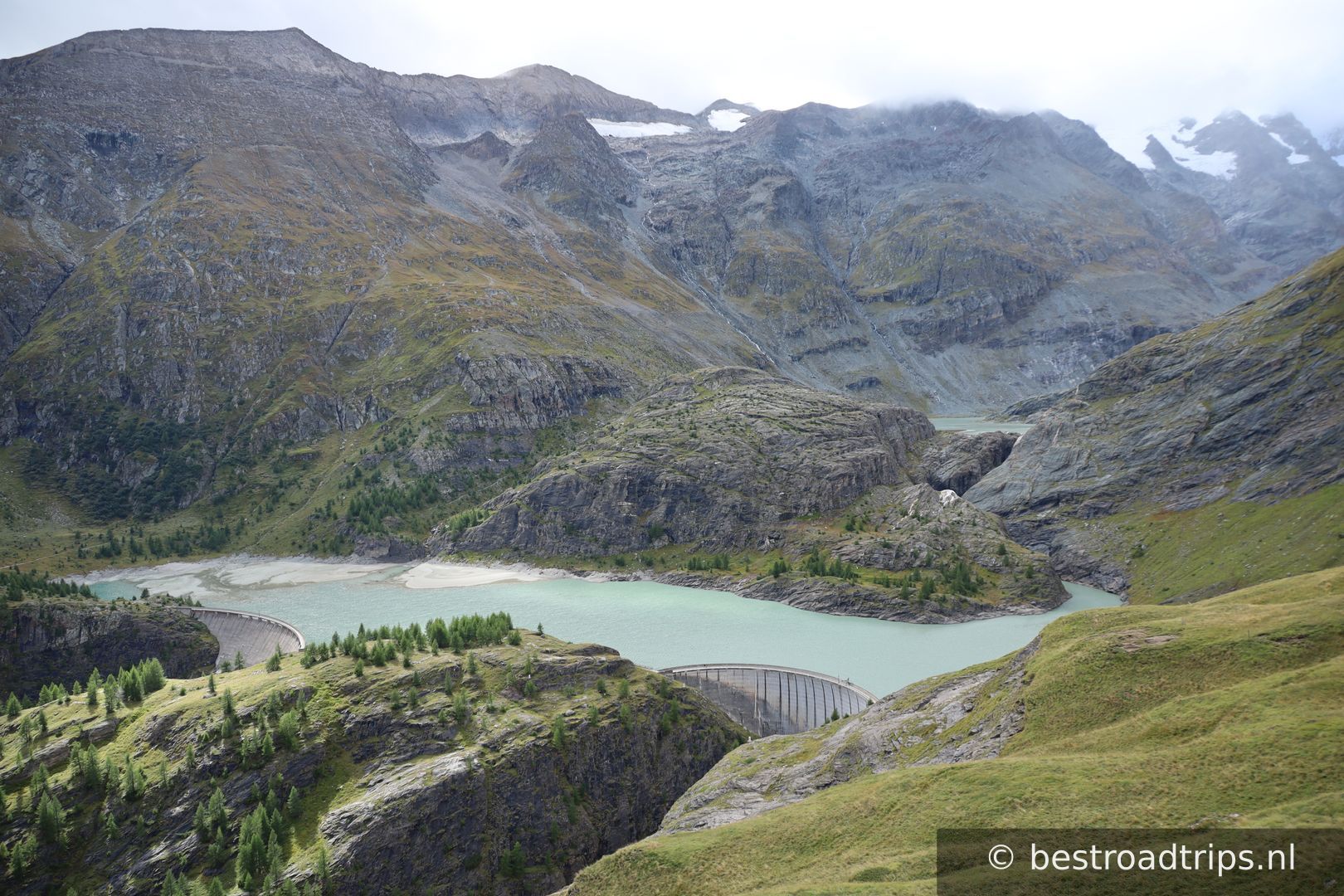
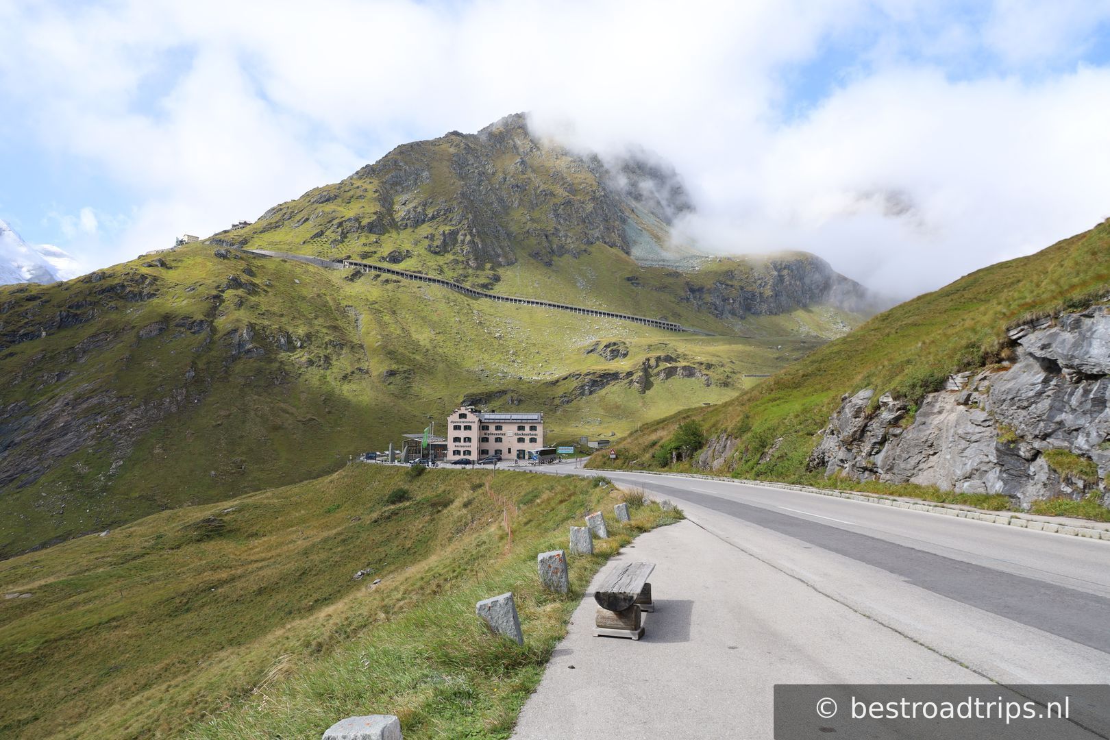
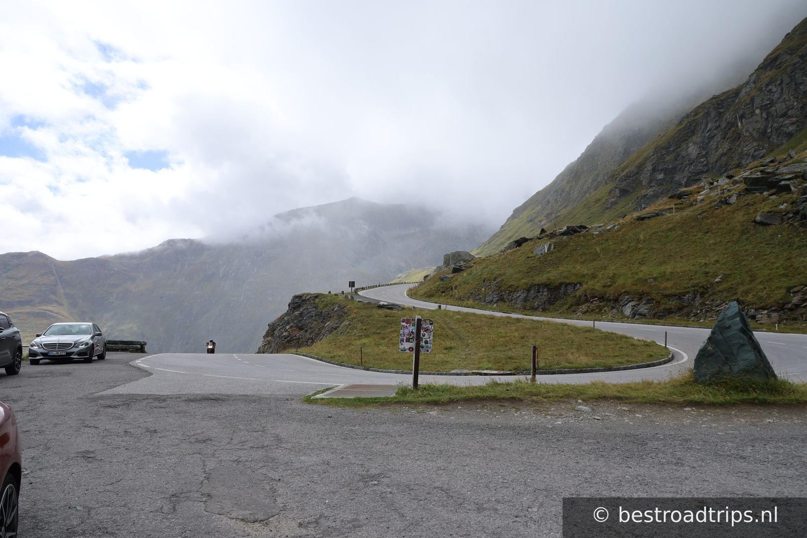
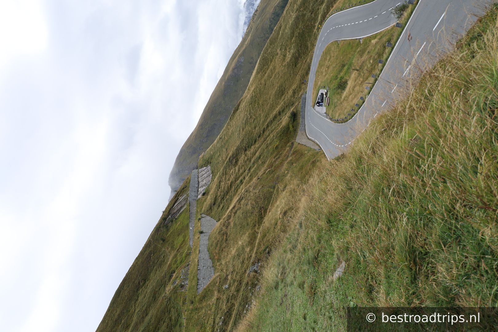
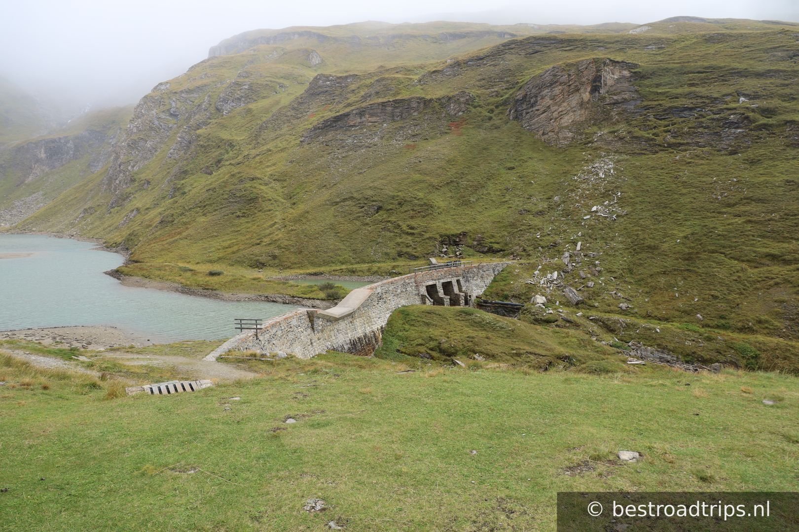
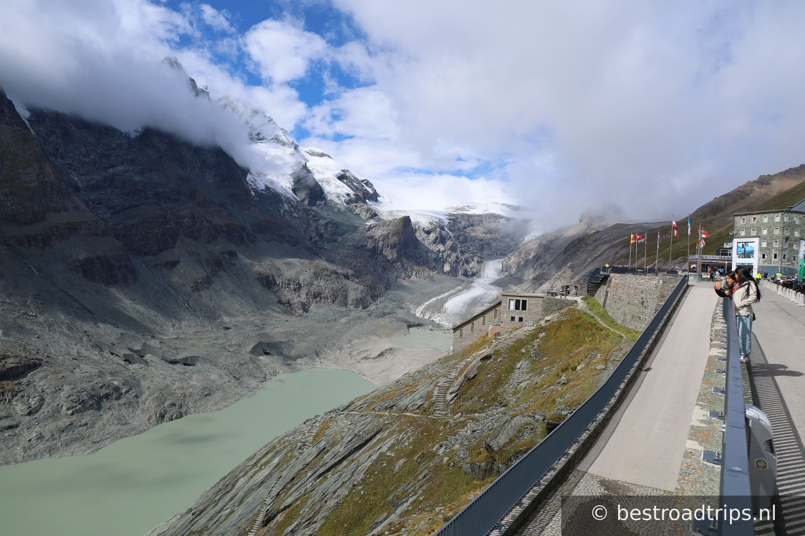
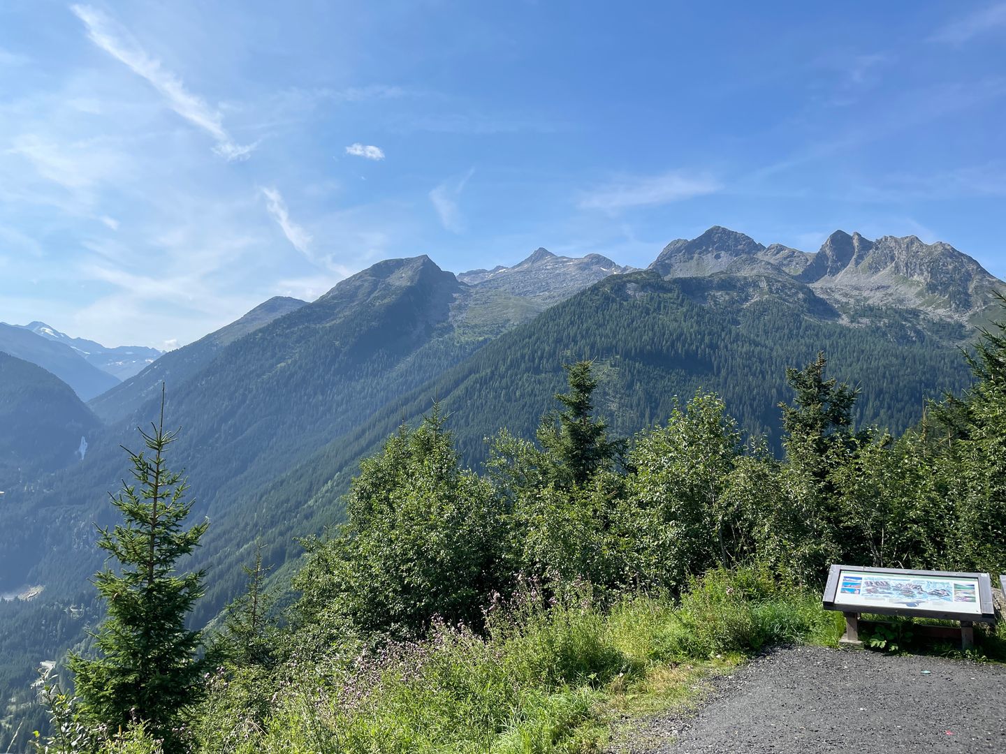
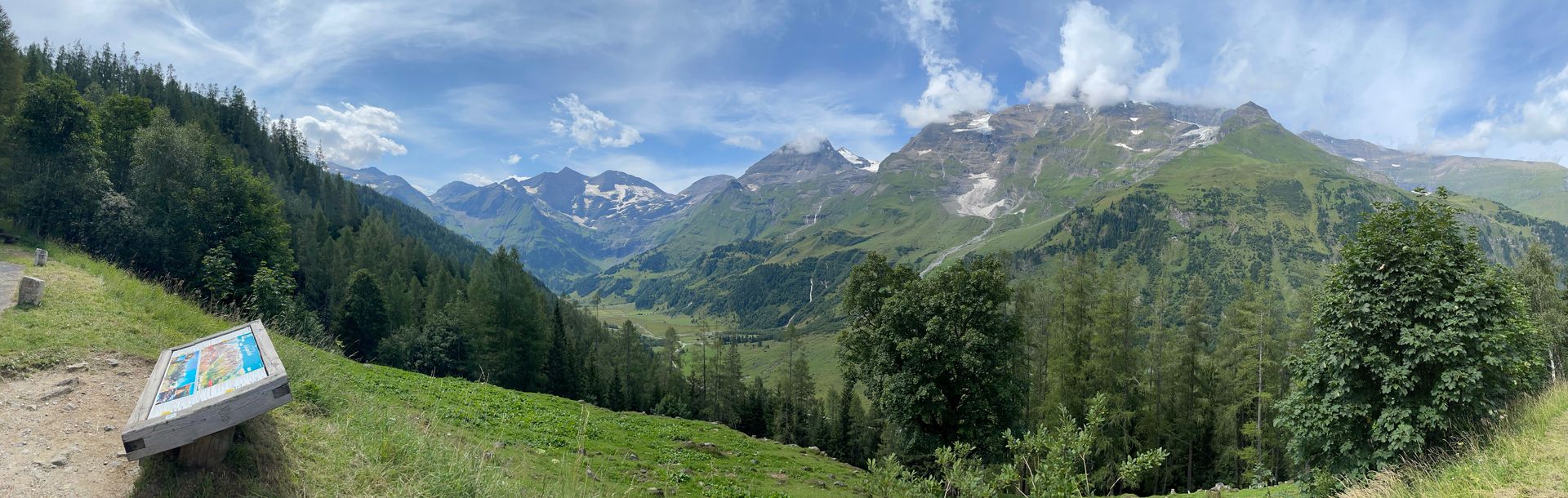
The Grossglockner High Alpine Road (in German Großglockner Hochalpenstraße) is the highest surfaced mountain pass road in Austria.

Land🇦🇹 Oostenrijk
Hoogte⛰️ 2504m
Afstand📍 33.2 km
Wegkwaliteit🟢 Uitstekend
Drukte🟡 Matig druk
Tol / Kosten💰 46,50
Expertbeoordeling
★★★★★
5— Amazing mountain pass that is well maintained
🌐Deze content is automatisch vertaald en kan onnauwkeurigheden bevatten.

About this pass

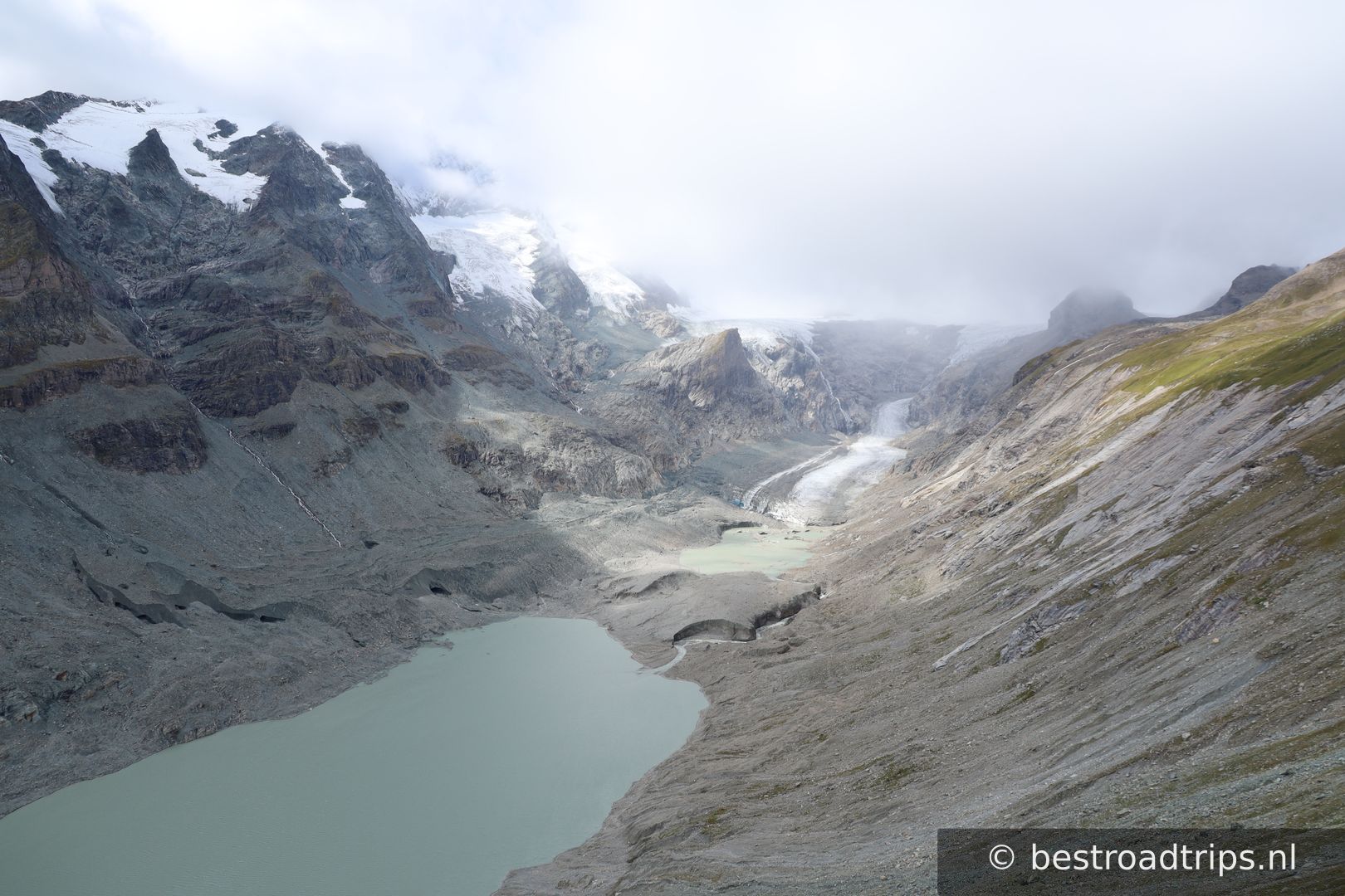
The Grossglockner High Alpine Road (in German Großglockner Hochalpenstraße) is the highest surfaced mountain pass road in Austria. It connects Bruck in the state of Salzburg with Heiligenblut in Carinthia via the Fuscher Törl at 2,428 m (7,966 ft) and the Hochtor Pass at 2,504 m (8,215 ft).[1] The road is named after the Grossglockner, Austria's highest mountain. Built as a scenic route, a toll is charged.[1]
Mijn notities

It costs money to drive but the road is very smooth and the price makes it not too busy. Dont make the same mistake as i did, i skipped the second stop!

Stops langs de route

1
Start/Stop

Start/Stop

🅿️ Parkeren
47.2791°N, 12.8250°EKlik om in te zoomen op de kaart →
2
Stop with view2504

Stop with view2504

🚻 Toilet🅿️ Parkeren
47.0744°N, 12.7524°EKlik om in te zoomen op de kaart →
3
Start/Stop

Start/Stop

🅿️ Parkeren
47.0372°N, 12.8693°EKlik om in te zoomen op de kaart →
🔒 Login voor GPX

Beoordelingen van gebruikers

Nog geen beoordelingen — wees de eerste!

Voeg je beoordeling toe

★★★★★
Find hotels near Grossglockner High Alpine Road
★★★★★ Millions of reviews · Free cancellation available
Search hotels →
Find things to do near Grossglockner High Alpine Road
Handpicked tours & activities
Explore activities →