Route

Helgelandskysten

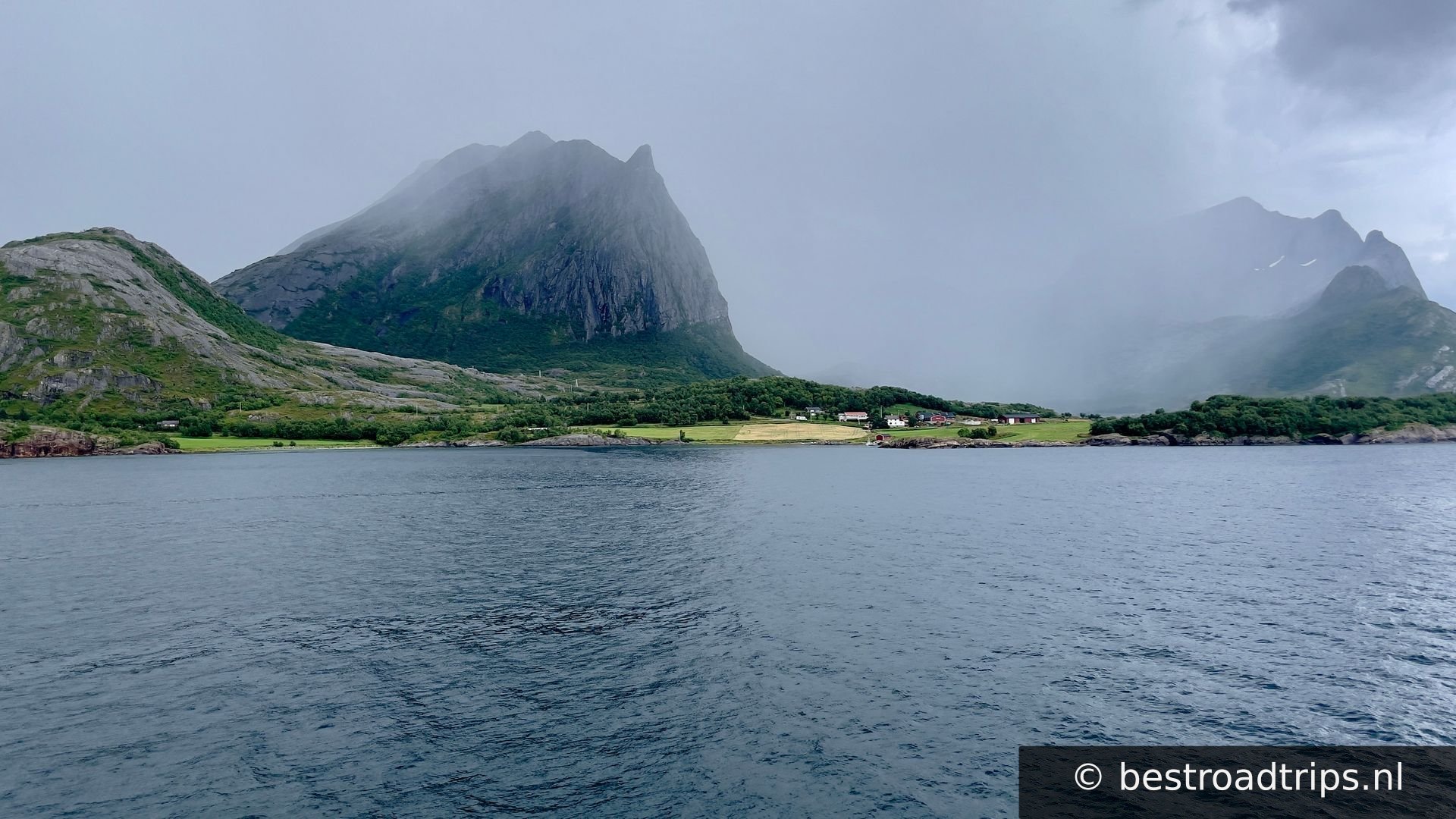
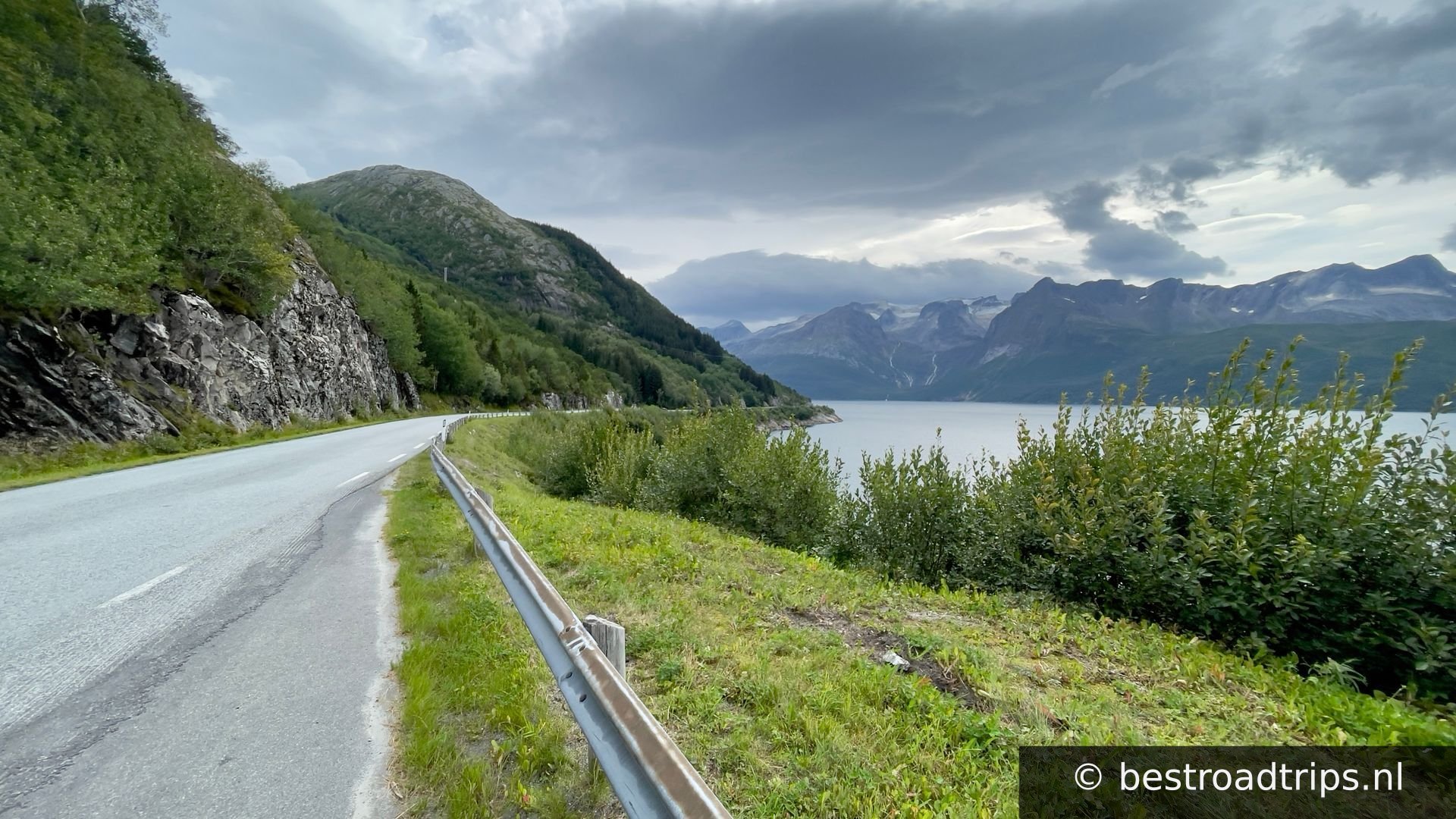
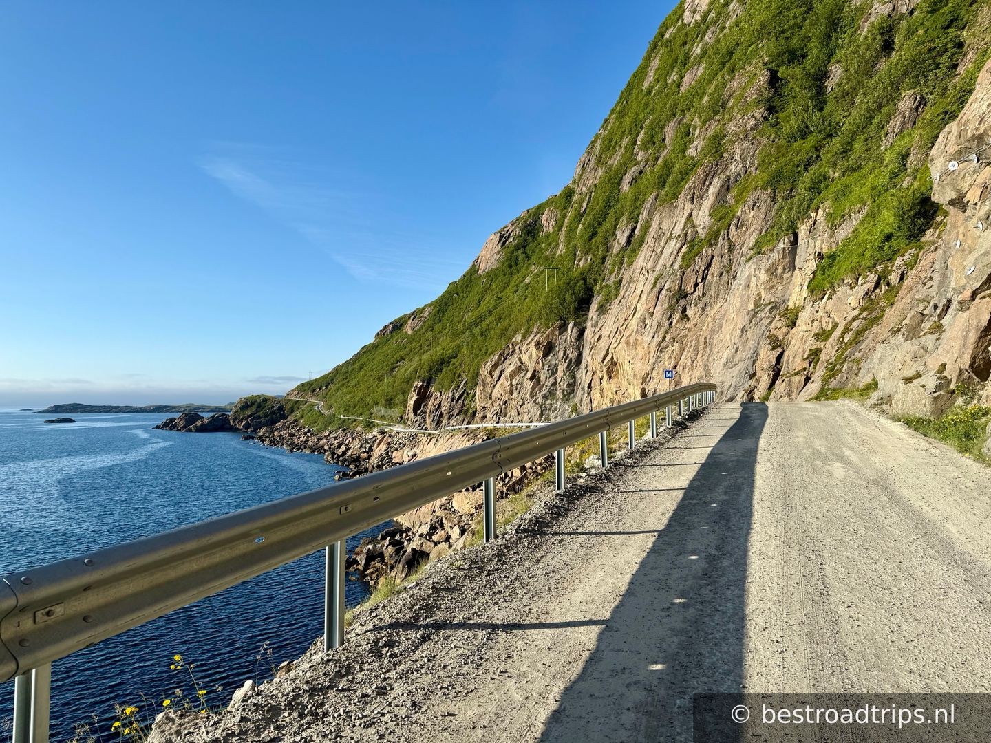
An alternative detour to the E6, with a magnificent view of the ocean and archipelago.

Land🇳🇴 Norway
Dauer🕐 4
Entfernung📍 433 km
Straßenqualität🟢 Ausgezeichnet
Andrang🟢 Ruhig
Expertenbewertung
★★★★★★
3.5— Lots of ferries, long roads with sometimes nice parts.
🌐Dieser Inhalt wurde automatisch übersetzt und ist möglicherweise nicht vollständig korrekt.

About this route

An alternative detour to the E6, with a magnificent view of the ocean and archipelago.

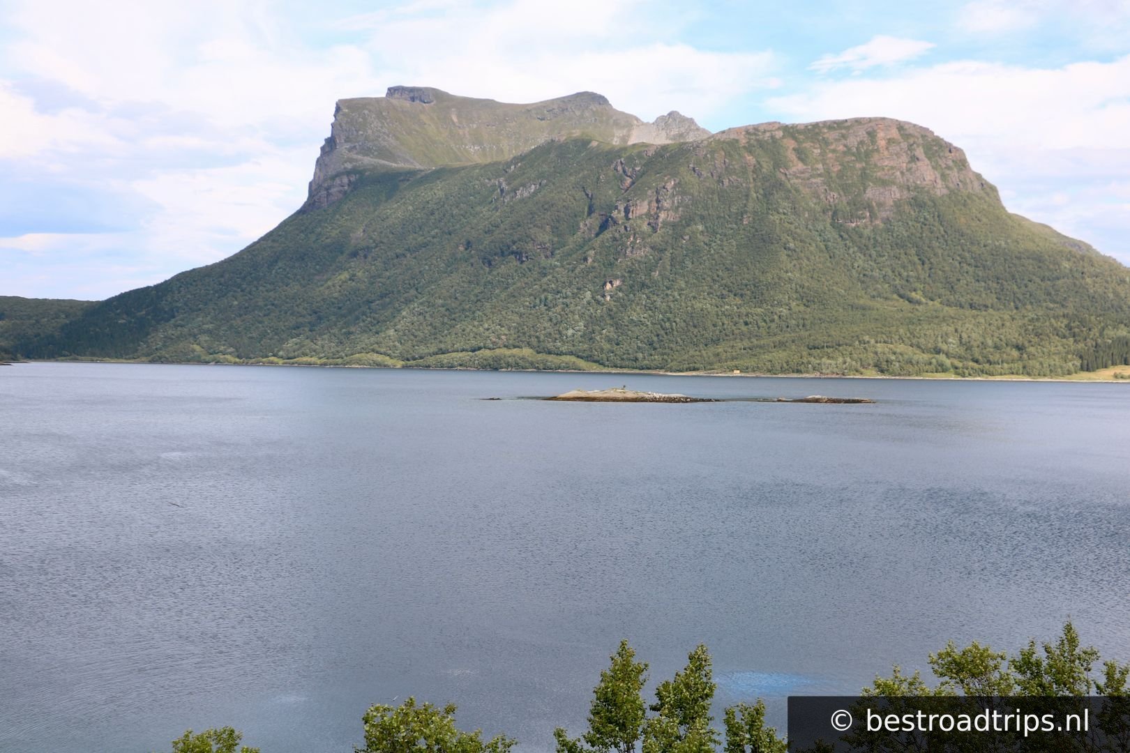
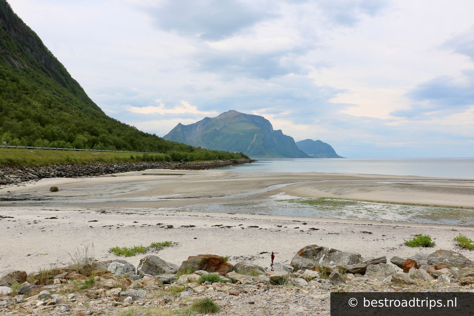
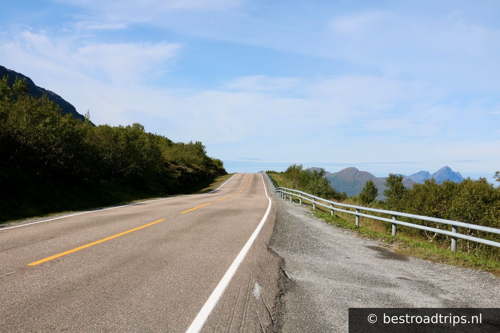
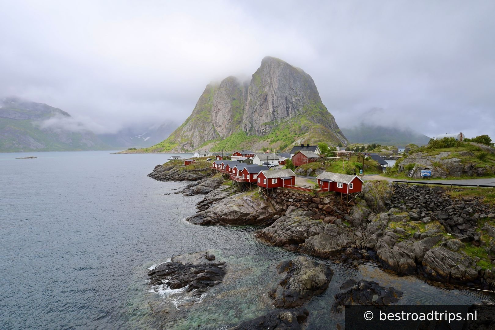
A journey of contrasts, and a drive where you will experience close contact with the coast, glaciers and a beautiful cultural landscape with a lot of history. An alternative detour to the E6.

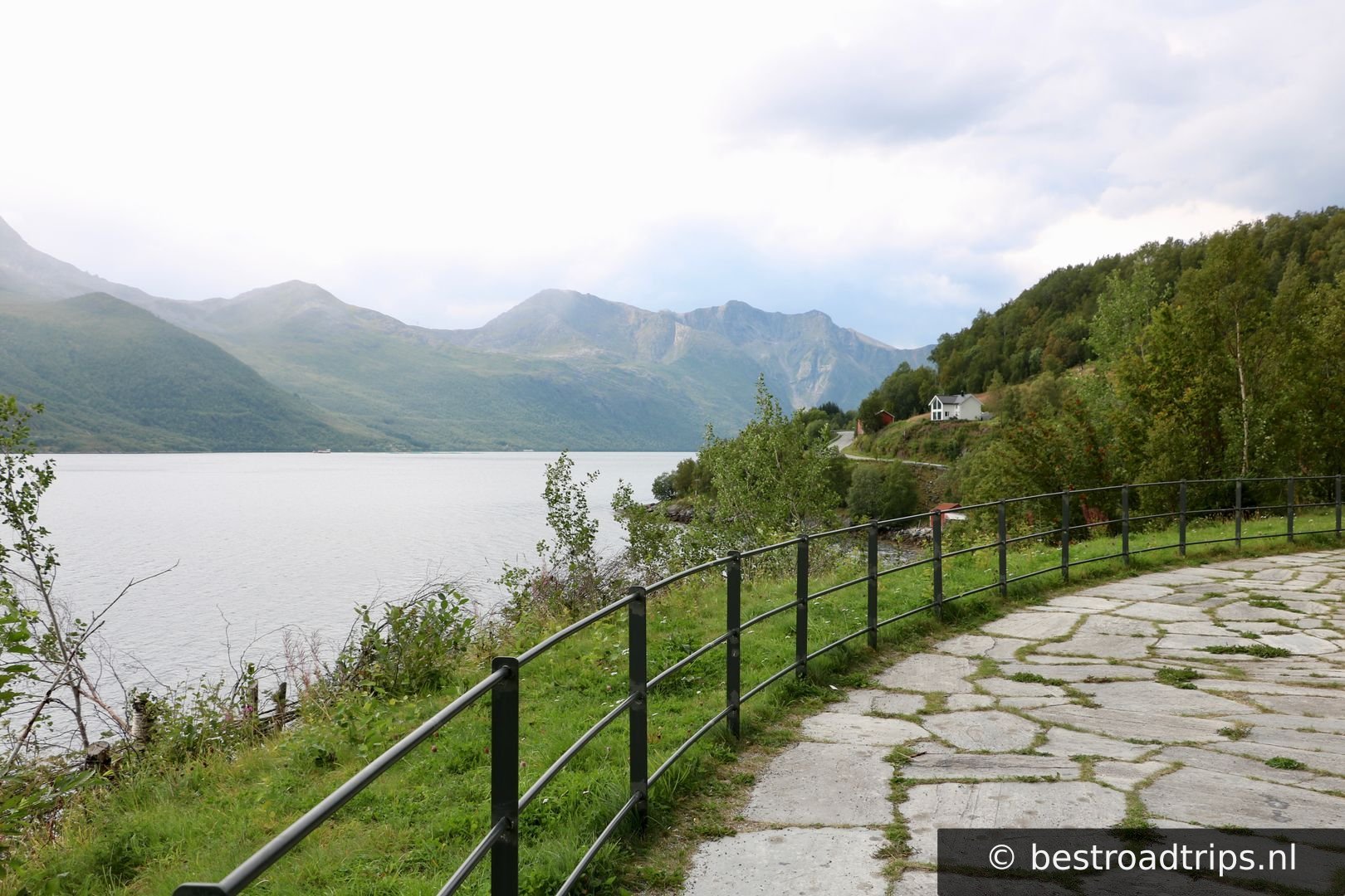
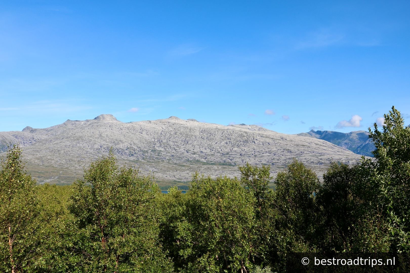
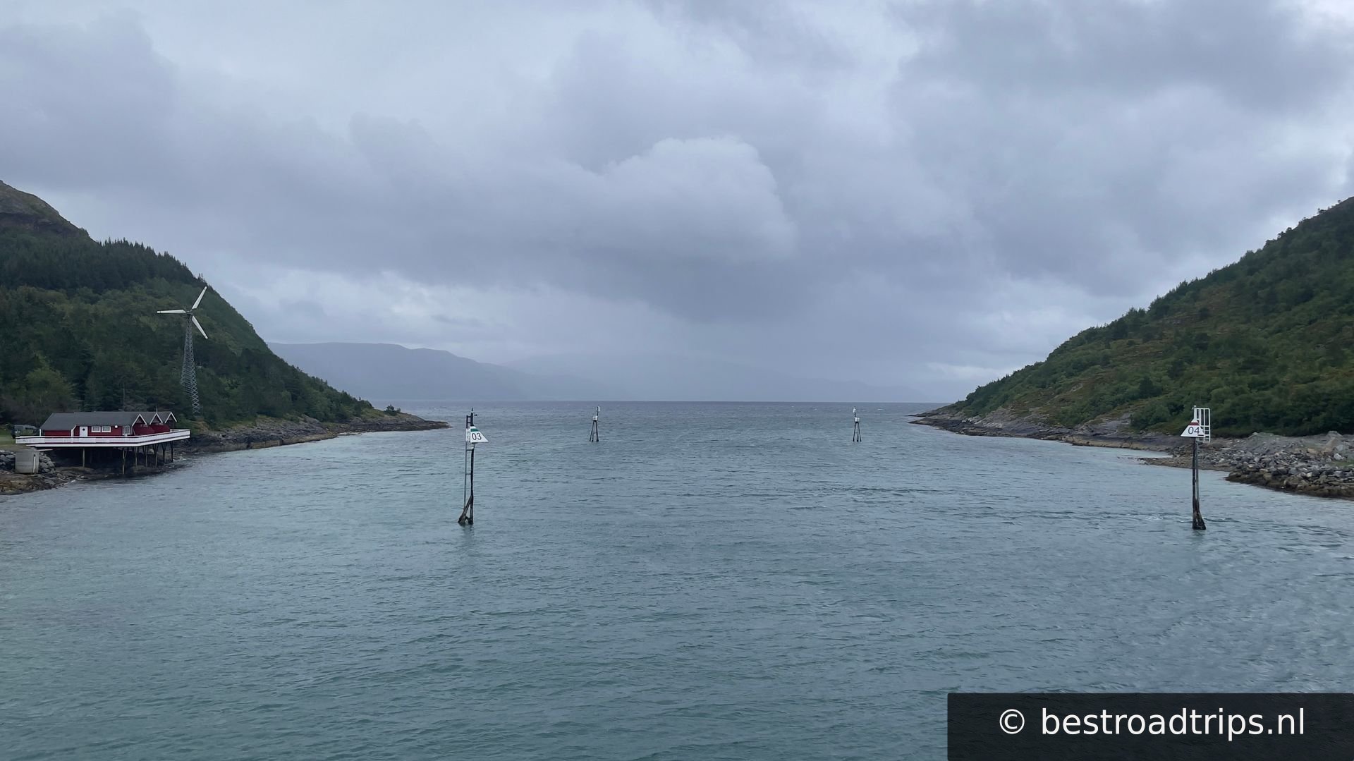
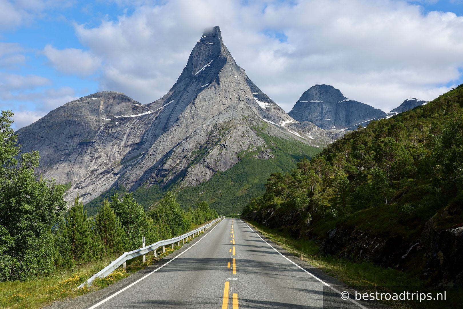
The road follows the coast but its character changes underway, from the long line of peaks in the north to the fiords and mountains, before the scenery turns into a gentler mix of skerries, islets and larger islands out at sea. Scenic Route Helgelandskysten is the longest of the 18 Norwegian Scenic Routes. The six ferry trips, as well as the contrasts the route presents, make it important to set aside plenty of time for this drive.

Going from Jektvik to Kilboghamn you will cross the Arctic Circle at 66 degrees northern latitude. On this journey you will also encounter many unique natural phenomena.
Meine Notizen

This is a very long route that takes several days. It has some highlights but its also a long drive.

Stopps unterwegs

1
📍

Start/End

65.1336°N, 12.1172°EKlicken, um auf der Karte zu zoomen →
2
📍

Sundshopen

🚻 Toilette🅿️ Parken
65.2588°N, 12.1399°EKlicken, um auf der Karte zu zoomen →
3
Trælvikosen

Trælvikosen

🅿️ Parken
65.5031°N, 12.2940°EKlicken, um auf der Karte zu zoomen →
4
Torghatten

Torghatten

🚻 Toilette🅿️ Parken

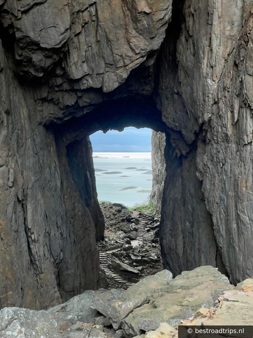
You can do a small hike up the mountain to see the hole in the mountain. Torghatten is also the name of a ferry company in the region.

65.3936°N, 12.0985°EKlicken, um auf der Karte zu zoomen →
5
📍

65.6806°N, 12.4145°EKlicken, um auf der Karte zu zoomen →
6
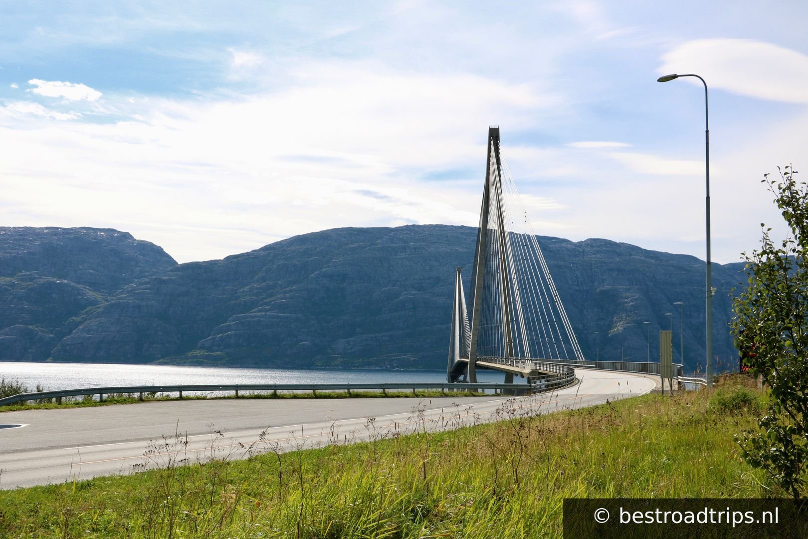
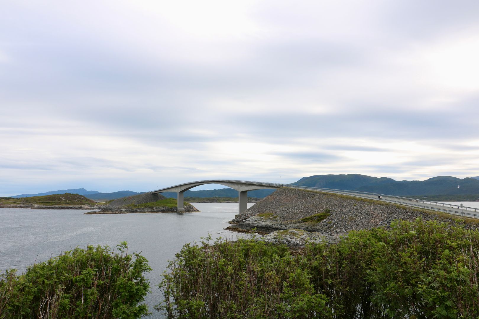
Strange bridge

Strange bridge

🅿️ Parken
66.0429°N, 12.7180°EKlicken, um auf der Karte zu zoomen →
7
📍

Grønsvik kystfort

🚻 Toilette🅿️ Parken
66.2914°N, 13.3305°EKlicken, um auf der Karte zu zoomen →
8
📍

Hellåga

🚻 Toilette🅿️ Parken
66.3180°N, 13.3029°EKlicken, um auf der Karte zu zoomen →
9
📍

Jektvik

🚻 Toilette🅿️ Parken
66.3496°N, 12.9969°EKlicken, um auf der Karte zu zoomen →
10
📍

66.6242°N, 13.2894°EKlicken, um auf der Karte zu zoomen →
11
📍

66.7192°N, 13.4760°EKlicken, um auf der Karte zu zoomen →
12
Braset

Braset

🅿️ Parken
66.7161°N, 13.6720°EKlicken, um auf der Karte zu zoomen →
13
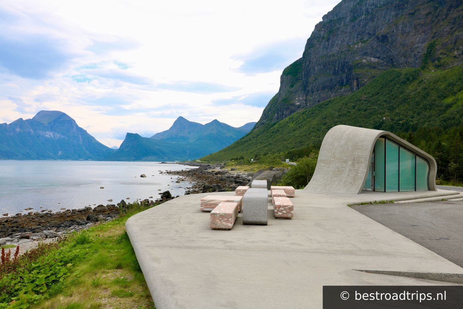
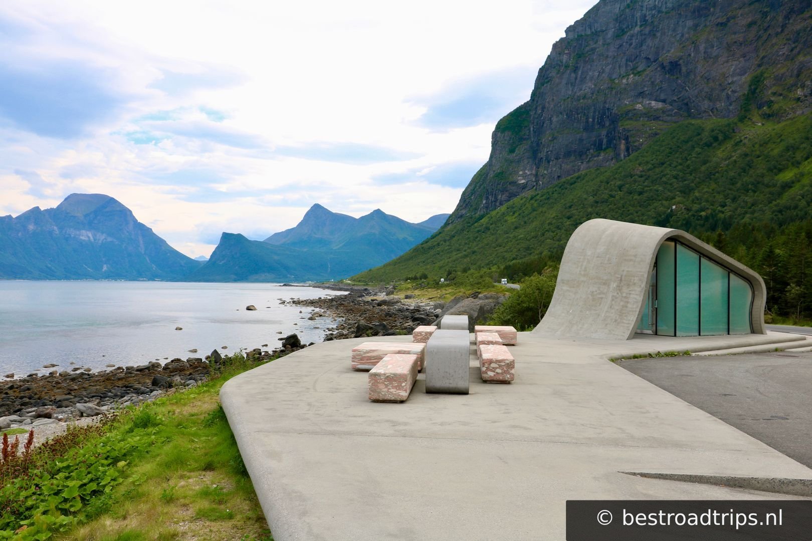
Ureddplassen

Ureddplassen

🚻 Toilette🅿️ Parken
66.9483°N, 13.6065°EKlicken, um auf der Karte zu zoomen →
14
Storvika

Storvika

🚻 Toilette🅿️ Parken
66.9597°N, 13.8040°EKlicken, um auf der Karte zu zoomen →
15
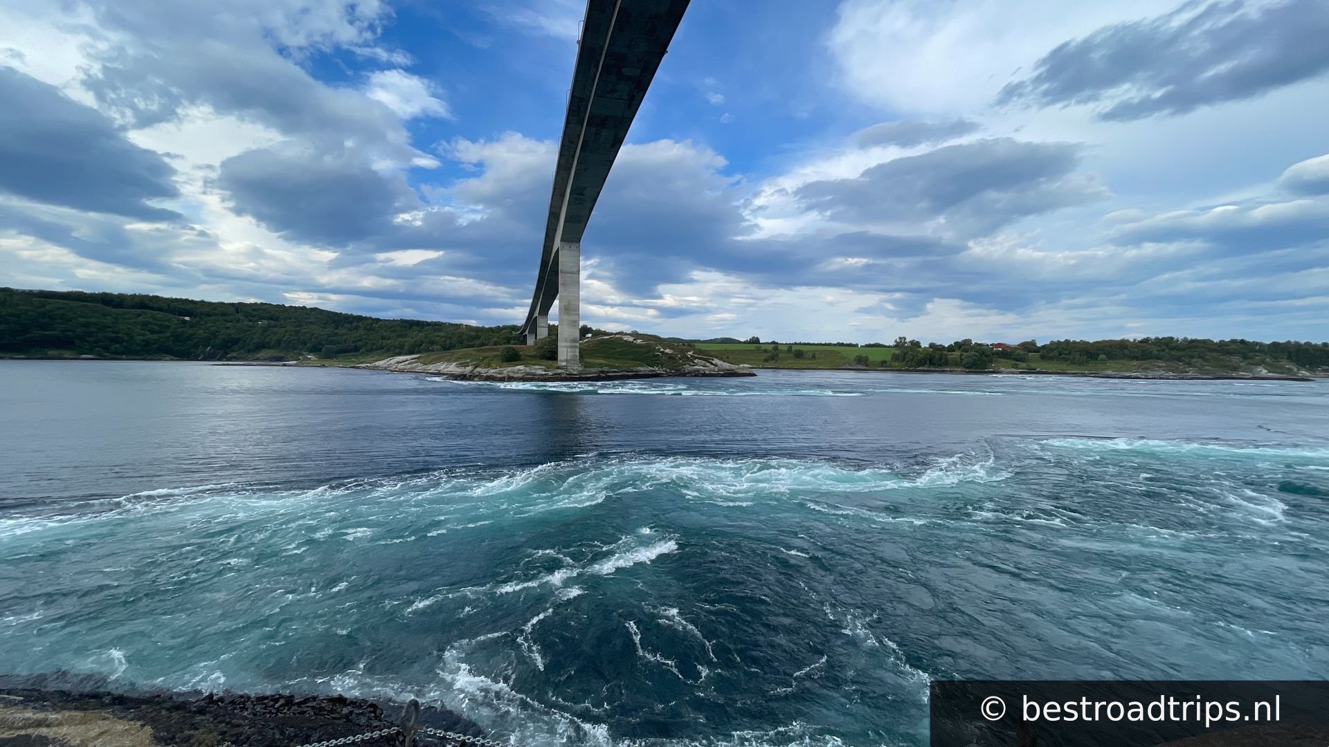
Saltstraumen

Saltstraumen

🅿️ Parken

Saltstraumen has one of the strongest tidal currents in the world.[3][4] Up to 400 million cubic metres (110 billion US gallons) of seawater[5] forces its way through a 3 km (1.9 mi) long and 150 m (490 ft) wide strait every six hours.[6] Vortices known as whirlpools or maelstroms up to 10 m (33 ft) in diameter and 5 m (16 ft) in depth are formed when the current is at its strongest. At this point, one source claims that the tidal current can reach 40 km/h (25 mph).[7]

67.2320°N, 14.6160°EKlicken, um auf der Karte zu zoomen →
16
📍

Start/End

67.2397°N, 14.7114°EKlicken, um auf der Karte zu zoomen →
🔒 Anmelden für GPX

Nutzerbewertungen

Noch keine Bewertungen — sei der Erste!

Füge deine Bewertung hinzu

★★★★★
Find hotels near Helgelandskysten
★★★★★ Millions of reviews · Free cancellation available
Search hotels →
Find things to do near Helgelandskysten
Handpicked tours & activities
Explore activities →